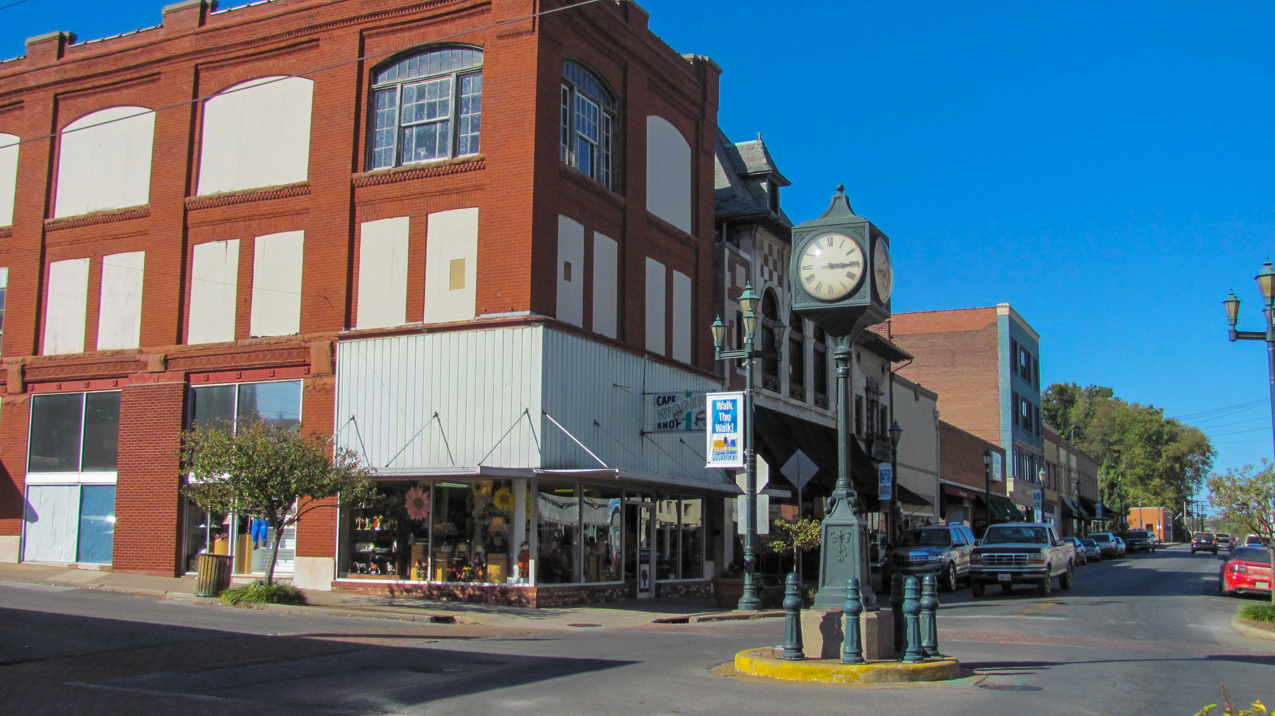
Visitors Guide to Mississippi County, Missouri
Moore House
Charleston, Missouri
Mississippi County located in the Bootheel of Southeast Missouri. Mississippi County comprises what was formerly known as "Tywappity Bottom," a vast area of swampland that bordered the Mississippi River. This southeastern county is also located at the confluence of the Ohio and Mississippi Rivers making it the gateway to the lower Mississippi River. Kentucky and Illinois are both connected with the eastern shore of Missouri on the western bank of the river. Mississippi County has been the home for human habitation since at least 10,000 years. Remnants of early Native American habitation can be found at Towosahgy State Historic Site. The site preserves the remains of a community that flourished as a fortified village and ceremonial center between 1000 and 1400 A.D. On November 16, 1803 the small community of Bird’s Point was where the Lewis and Clark expedition first stepped foot within the Louisiana Purchase, the area they had been sent to explore.
In the 1820s and 1830s Southeast Missouri began to attract settlers, largely farmers from Illinois, Kentucky, Tennessee, and Virginia. In 1837 the city of Charleston was laid out. In 1845 a legislative act created Mississippi County which was organized from the southern part of Scott County. Charleston was designated the county seat and is known for its beautiful homes and colorful gardens. The Mississippi County Historical Society Museum is located in an antebellum era home, the Moore House. Charleston is the home of former Missouri Governor Warren E. Hearnes and a museum dedicated to all of his accomplishments is located in the downtown area. Charleston has also become known for its annual Dogwood-Azalea Festival in April.
Big Oak Tree State Park
East Prairie, Missouri
The terrain of Mississippi County is mostly flat and the soil is extremely fertile from years of river deposits and the area was covered with virgin forests. Beginning in the late 1800s, the giant timber and fertile soil of the lowlands began to attract timbermen and farmers. Timbermen cleared the trees leaving bare land and landowners supported the creation of drainage districts that enabled them to plant crops, such as wheat, soybeans and corn. Over two million acres were converted from forest to cropland. In the 1930s, citizens of southeast Missouri began to realize that their magnificent lowland forests were about to disappear forever and started a campaign to save a large oak tree and 80 acres surrounding it. In 1938 over 1,000 acres were purchased and dedicated as Big Oak Tree State Park. Today, trees in the park are unsurpassed in the state for their size, with a canopy averaging 120 feet and with several trees more than 130 feet tall. The park features a boardwalk that winds its way through the park past some of the park's largest trees.


