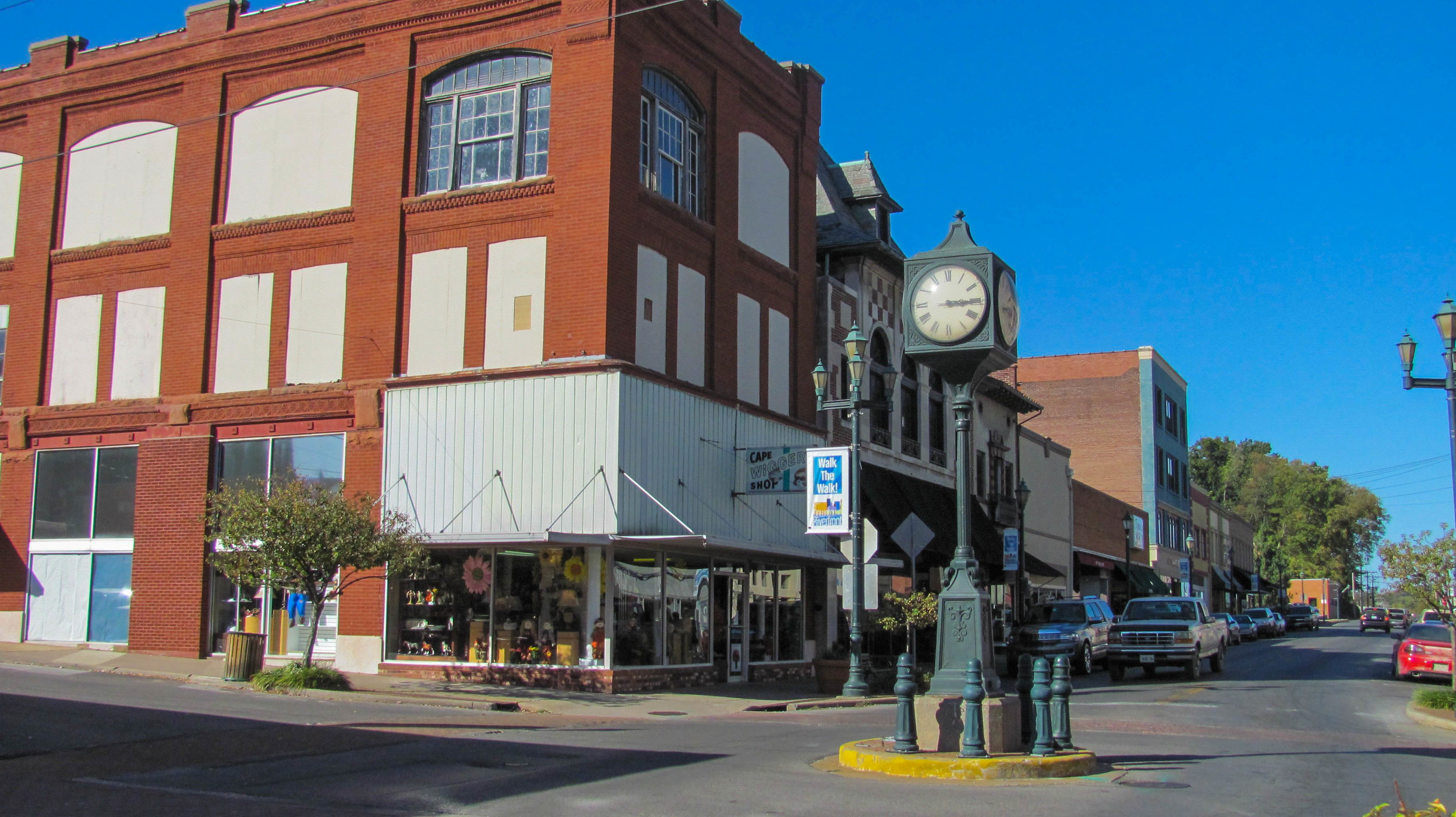
Visitors Guide to Cairo
Alexander County, Illinois
Cairo Custom House
The confluence of the Mississippi and Ohio Rivers
at Fort Defiance Park
This community is pronounced kay-row by its inhabitants. Cairo is located at the southernmost point of Illinois where the Mississippi and Ohio Rivers meet and is protected by levees from the two rivers. The first attempt at founded a community at this location was made by the Cairo City & Canal Company in 1837 but this effort failed. But land companies and others felt that the location was bound to become the crossroads of America. In 1949 a panorama by artist John Banvard promoted Cairo as “destined to become one of the largest inland cities in the United States.” It took another two tries by the land companies to get Cairo started as a permanent city. The sale of lots, which began in 1853, and the completion of the Illinois Central Railroad spurred its growth by attracting settlers and merchants and Cairo was incorporated as a city in 1858. For the first fifteen years the town grew slowly. By 1860, the population exceeded 2,000. Cairo began to emerge as an important steamboat port. Because so much river traffic used or passed by Cairo that it was designated as a port of delivery by act of Congress in 1854. The strategic importance of Cairo's geographic location had sparked great prosperity in Cairo during the Civil War. Cairo's success continued after the war being both a railheas and a major river port. As many as 4,000 steamboats would dock at Cairo in the years immediately after the Civil War.
Construction began in 1869 on the United States Custom House and Post Office and completed in 1872. The completed building served various uses over the years including a custom house, a post office, and a U.S. District Court. The post office in the building was the third busiest in the United States at the height of Cairo's prosperity. Today the building houses a museum that interprets the history of Cairo. Cairo location made it a hub for railroad shipping. By 1900 there were several railroad lines branching from Cairo. In addition to shipping and railroads, a major industry in Cairo was also the operations of ferries. Into the late 1800s, nearly 250,000 railroad cars could be ferried across the river in as little as six months. Later motorized vehicles were ferried as there were no automobile bridges in the area in the early 20th century.
Merchants and shippers made prosperous by the river trade built numerous fine mansions in the 19th century including the Italianate Magnolia Manor, completed in 1872, and the Second Empire Riverlore Mansion built by Capt. William P. Halliday in 1865. Across the street from the Customs House is the Cairo Public Library. This Queen Anne style building with stained glass and ornate woodwork was dedicated in 1884 as the A. B. Safford Memorial Library. These and other significant buildings are also listed on the National Register.
With the decline in river trade and as a result of racial disturbances, Cairo has experienced a marked decline in its economy and population. Its highest population was 15,203 in 1920 and in 2010 it less than 3,000 residents. The community and region are working to stop the abandonment of the city, restore its architectural landmarks, and develop heritage tourism focusing on its history and relationship to the Great Rivers, to bring new opportunities to the community.


