Visitors Guide to Alexander County, Illinois
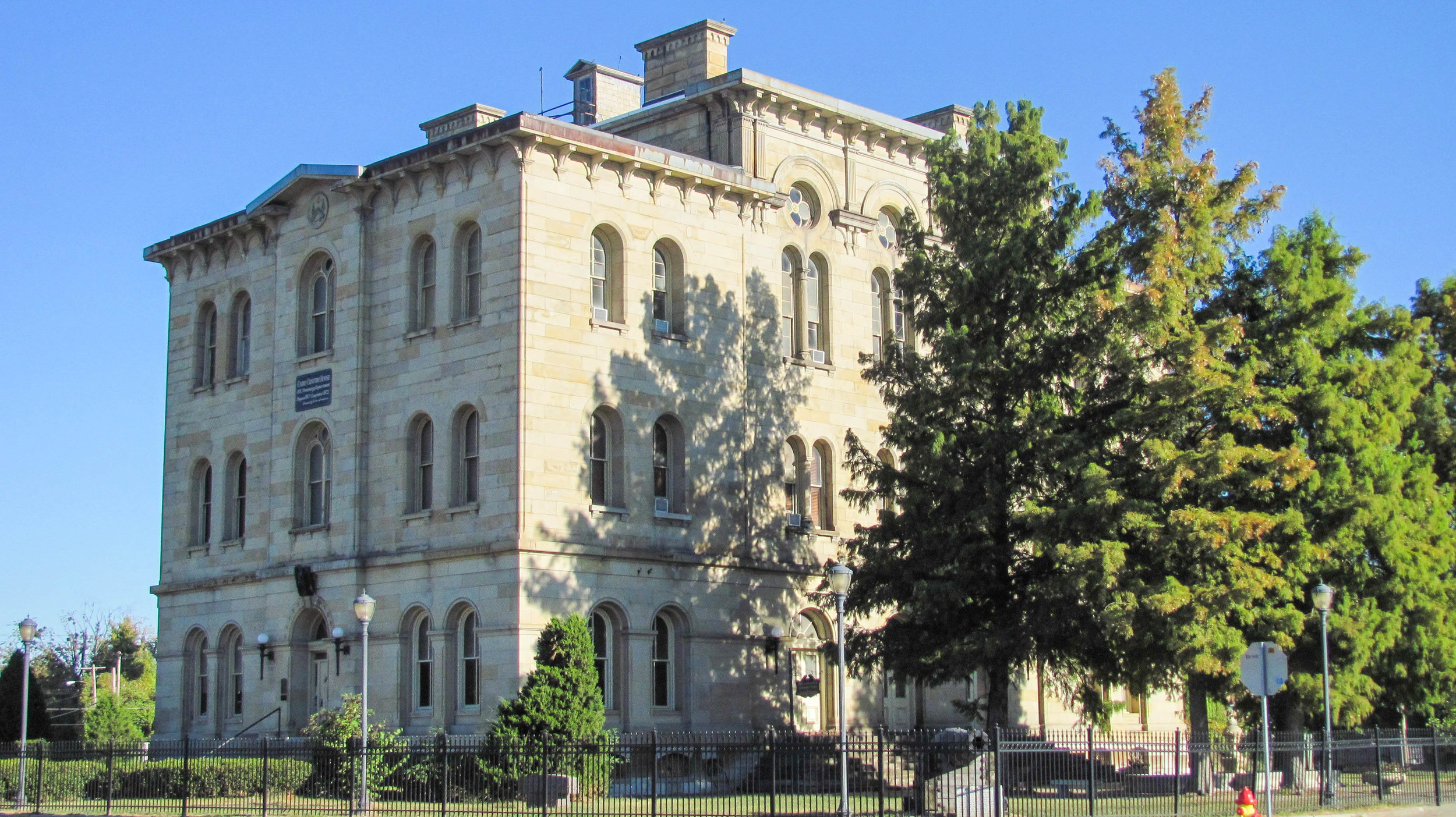
Cairo Custom House
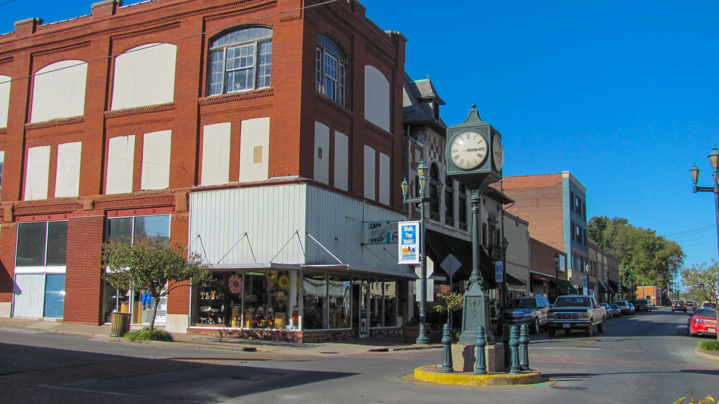
Cairo, Illinois
Alexander County is the extreme southern county of Illinois, being bounded on the west by the Mississippi River and south and east by the Ohio and Cache Rivers. The first European settlers were Tennesseans named Bird, who occupied the delta and gave it the name of Bird's Point, which by the time of the Lewis and Clark Expedition of Discovery had been transferred to the Missouri shore opposite the mouth of the Ohio. Alexander County was organized out of Union County in 1819. It was named for Dr. William M. Alexander, who became Speaker of the Illinois House of Representatives in 1822. America was the first county seat and was located on the Ohio River. The county seat was removed to near the center of the county in 1833 to a community called Unity. In 1943 Alexander County was divided with the eastern portion becoming Pulaski County. In 1846 the county seat was moved to Thebes along the Mississippi River. The old log courthouse sitting on a bluff overlooking the Mississippi can still be visited today. The county seat was moved to Cairo in 1859 where it remains today.
Cairo is Alexander County’s largest community. It was founded by the Cairo City & Canal Company in 1837 and incorporated as a city in 1858. For the first fifteen years the town grew slowly. But by 1860 Cairo began to emerge as an important steamboat port. Because so much river traffic used or passed by Cairo that it was designated as a port of delivery by act of Congress in 1854. The strategic importance of Cairo's geographic location had sparked great prosperity in Cairo during the Civil War and that success continued after the war. Because Cairo had been designated as a port of delivery the Federal government constructed the United States Custom House and Post Office which was completed in 1872. This building has served many purposes over the years and now is a museum that interprets the history of Cairo.
Horseshoe Lake Conservation Area
Alexander County, Illinois
A section of the Shawnee National Forest is located near Thebes where there are hiking and other recreational opportunities. Much of the Shawnee National Forest was exhausted farmland purchased by the Federal government in the 1930s that was planted with pine trees by the Civilian Conservation Corps to prevent erosion and help rebuild the soil. The purchased land was designated as the Shawnee National Forest in 1939. Just below Thebes is Horseshoe Lake Conservation Area. The 9,550-acre area includes a 2,400-acre shallow lake. The lake resembles a Louisiana bayou with its wading herons and its large stands of cypress, cottonwoods and tupelo gum trees. In addition to taking in the beauty of the natural features of the area, visitors can enjoy picnicking, camping, boating, fishing and hunting as well as 5.5 miles of hiking/biking trails that loop the area.


